

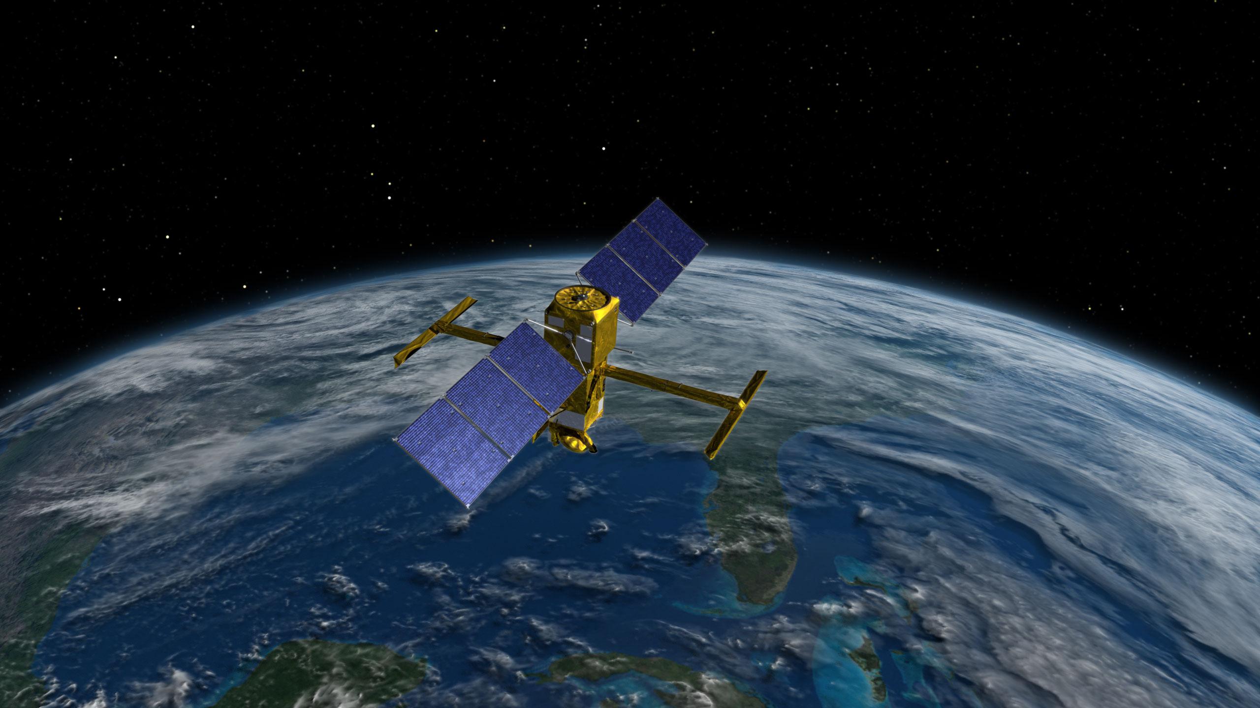
HAKUTO-R Mission 1 lunar lander
ispace, inc., a global lunar exploration company, announced today that its HAKUTO-R Mission 1 lunar lander has successfully carried out its second orbital control maneuver in accordance with its mission operations plan.
The maneuver was carried out shortly after midnight on Jan. 2, 2023 (Japan Standard Time) and operations were managed from ispace’s mission control center located in Nihonbashi, Tokyo. This orbital control maneuver is the second maneuver to occur while the lander has been traveling to the moon. The first orbital control maneuver was completed on December 15, 2022.
The second maneuver was carried out at a greater distance from Earth and lasted for a longer period than the first maneuver, verifying the company’s capability to carry out orbital maneuvers under various conditions.
As of Jan. 2, 2023, the lander has traveled approximately 1.24 million kilometers from the Earth and is scheduled to be at its farthest point of approximately 1.4 million km from the Earth by Jan. 20, 2023. Once the lander reaches its farthest point from Earth, a third orbital control maneuver may be performed, depending on its navigational status.
Since its launch on Dec. 11, 2022, the lander has maintained stable navigation in accordance with the mission plan. Once the lander has navigated deep space for one month, it will have achieved Mission 1 Milestone Success 5, at which an announcement is expected to be made.
Further updates about the status of the lander continue to be made on social media.
@ispace_inc (https://twitter.com/ispace_inc)
Mission 1 Milestones
For Mission 1, ispace has set 10 milestones between launch and landing, and aims to achieve the success criteria established for each of these milestones. Recognizing the possibility of an anomaly during the mission, the results will be weighed and evaluated against the criteria and incorporated into future missions already in development between now and 2025. Mission 2 and Mission 3, which also will contribute to NASA’s Artemis Program, will further improve the maturity of ispace’s technology and business model. Future announcements on progress of milestone achievement are expected to be released once attained.


About ispace, inc.
ispace, a global lunar resource development company with the vision, “Expand our Planet. Expand our Future.”, specializes in designing and building lunar landers and rovers. ispace aims to extend the sphere of human life into space and create a sustainable world by providing high-frequency, low-cost transportation services to the Moon. The company has offices in Japan, Luxembourg, and the United States with more than 200 employees worldwide. ispace technologies U.S., inc. is part of a team led by Draper, which was awarded a NASA Commercial Lunar Payload Services (CLPS) Program contract to land on the far side of the Moon by 2025. Both ispace, and ispace EUROPE S.A. (ispace EU) were awarded contracts to collect and transfer ownership of lunar regolith to NASA, and ispace EU was selected by ESA to be part of the Science Team for PROSPECT, a program which seeks to extract water on the Moon.
Established in 2010, ispace operated “HAKUTO” which was one of five finalist teams in the Google Lunar XPRIZE race. The company’s first mission as part of its HAKUTO-R lunar exploration program launched on Dec. 11, 2022, from the United States on a SpaceX Falcon 9 rocket and is currently expected to land on the lunar surface at the end of April 2023. Subsequent missions are in development process with launches expected in 2024 and 2025. ispace has also launched a lunar data business concept to support new customers as a gateway to conduct business on the Moon.
By Keith Cowing
Source SpaceRef


